Category Archives: Vehicle

Travel Log: Bolivia and Brazil!

We started the last full day of driving before Brazil very early, packing up and hitting the road at 4:00 am. Our goal for the day was to drive from San Ignacio de Velasco, Bolivia to San Matias and the Brazilian border, and then to Cuiabá, Brazil. Originally, this was not our plan. In the months leading up to our drive, we researched and planned out each and every country and border crossing we would travel through. Many awesome websites and blogs chronicle other adventurer’s trips through this part of the world, so most of the time we had at least a general idea of what to expect as we entered a new country. The final leg of our journey, though, was almost entirely uncharted. The common route most take through this part of the Americas is south through Chile and Argentina. The massive Amazon rainforest prevents most east-west travel, and most people want to visit the southern reaches of the continent anyway. We, however, needed to be in Brazil by June 17th, so longer routes were not an option.

We had decided on a route that would take us through Cusco, Peru and then north, crossing the Peru-Brazil border at the small town of Iñapari. While very rarely traveled by overlanders, we were able to find some information on the roads and border crossing there. It was very lush and wet, running through the southern tip of the Amazon rainforest. The route would also require us to take a few local ferries, as some of the major rivers it crossed did not have bridges. It did, though, prevent us from needing to drive through Bolivia. Each additional country border that we crossed took an additional half a day, on average, and Bolivia in particular requires US citizens to purchase an expensive ($135) visa before entering.

15274869391_25f218b18e_o

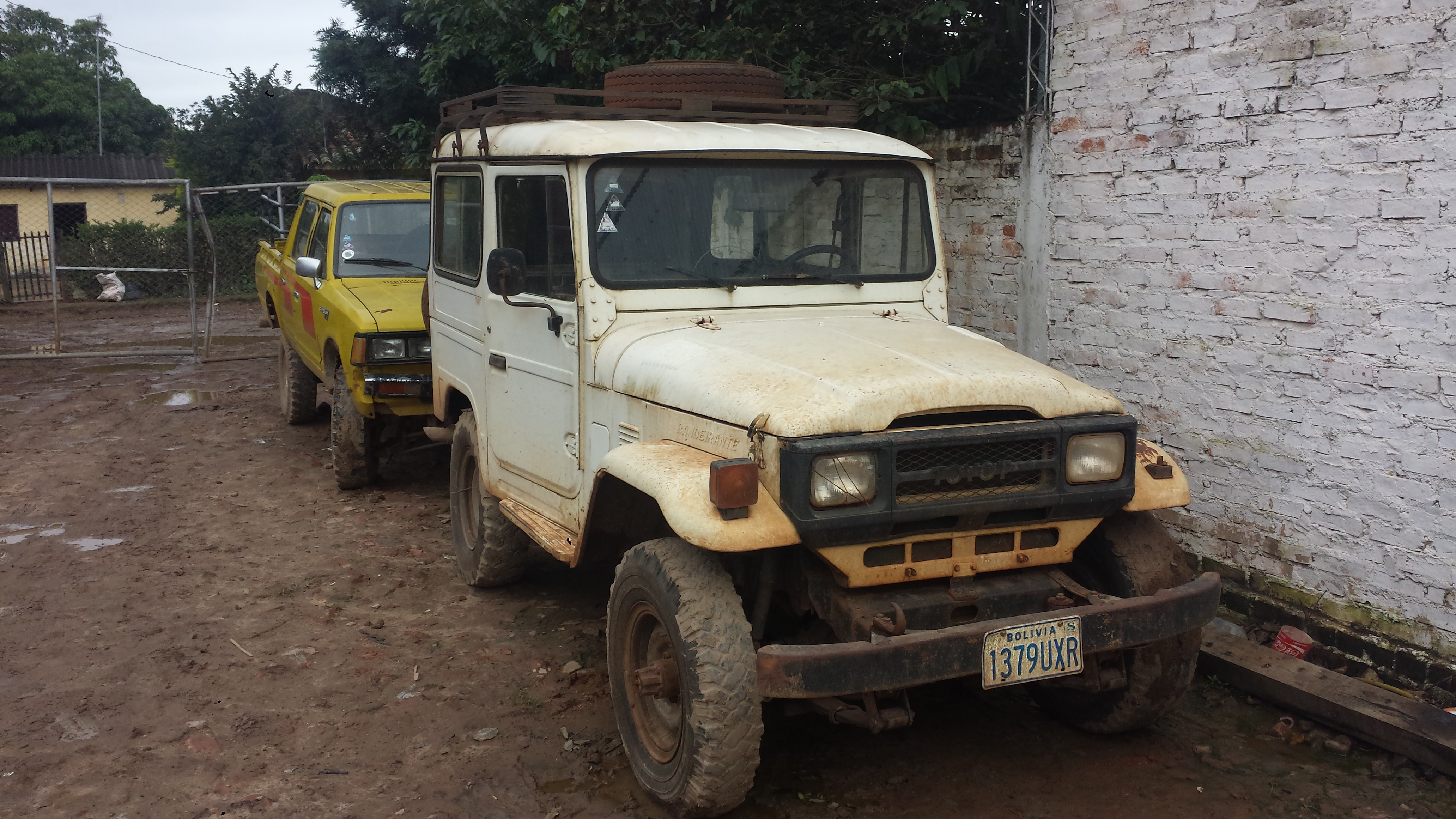
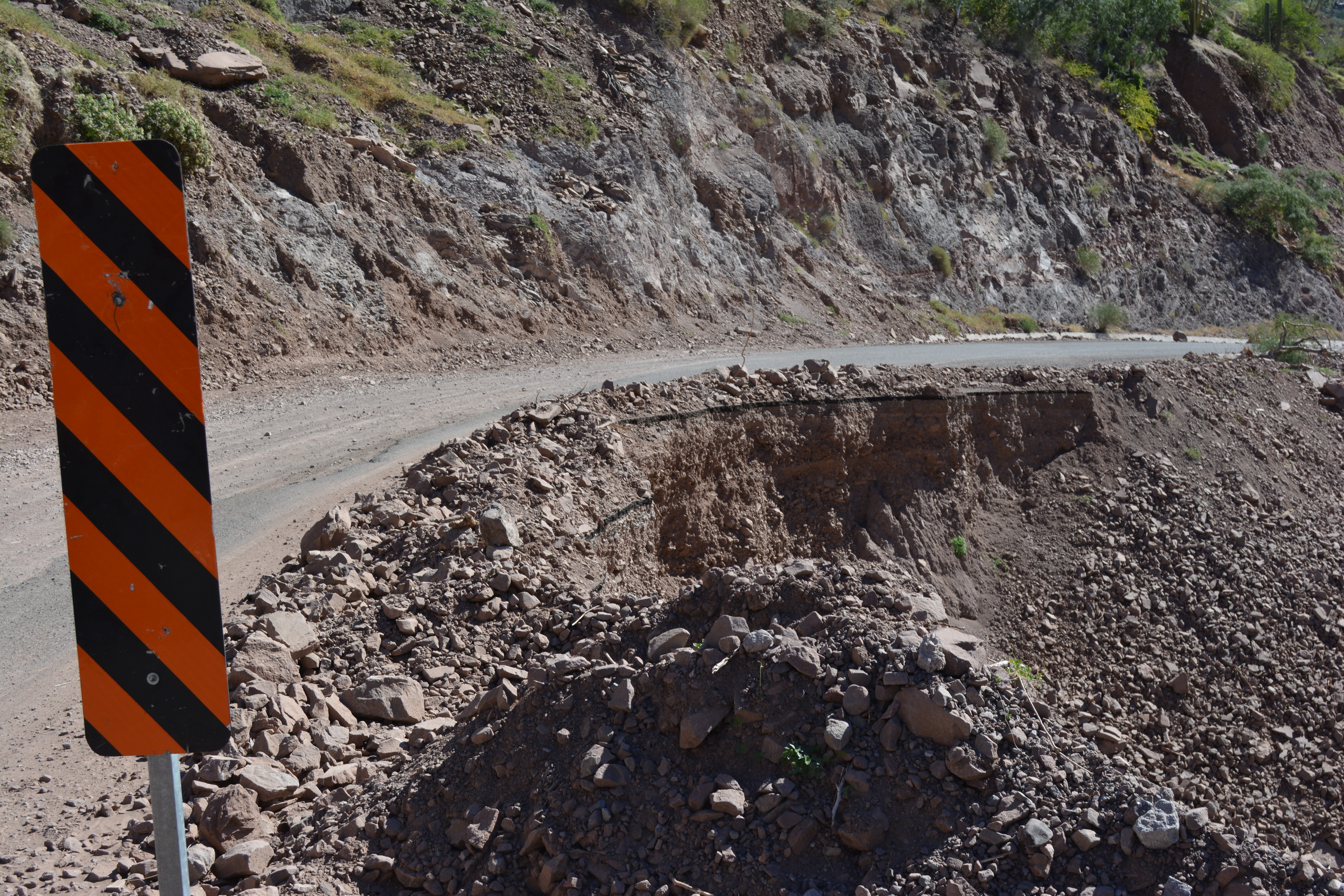
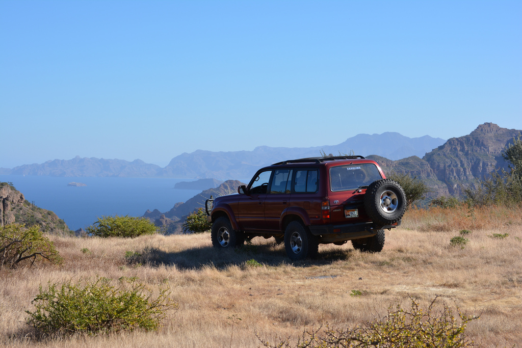
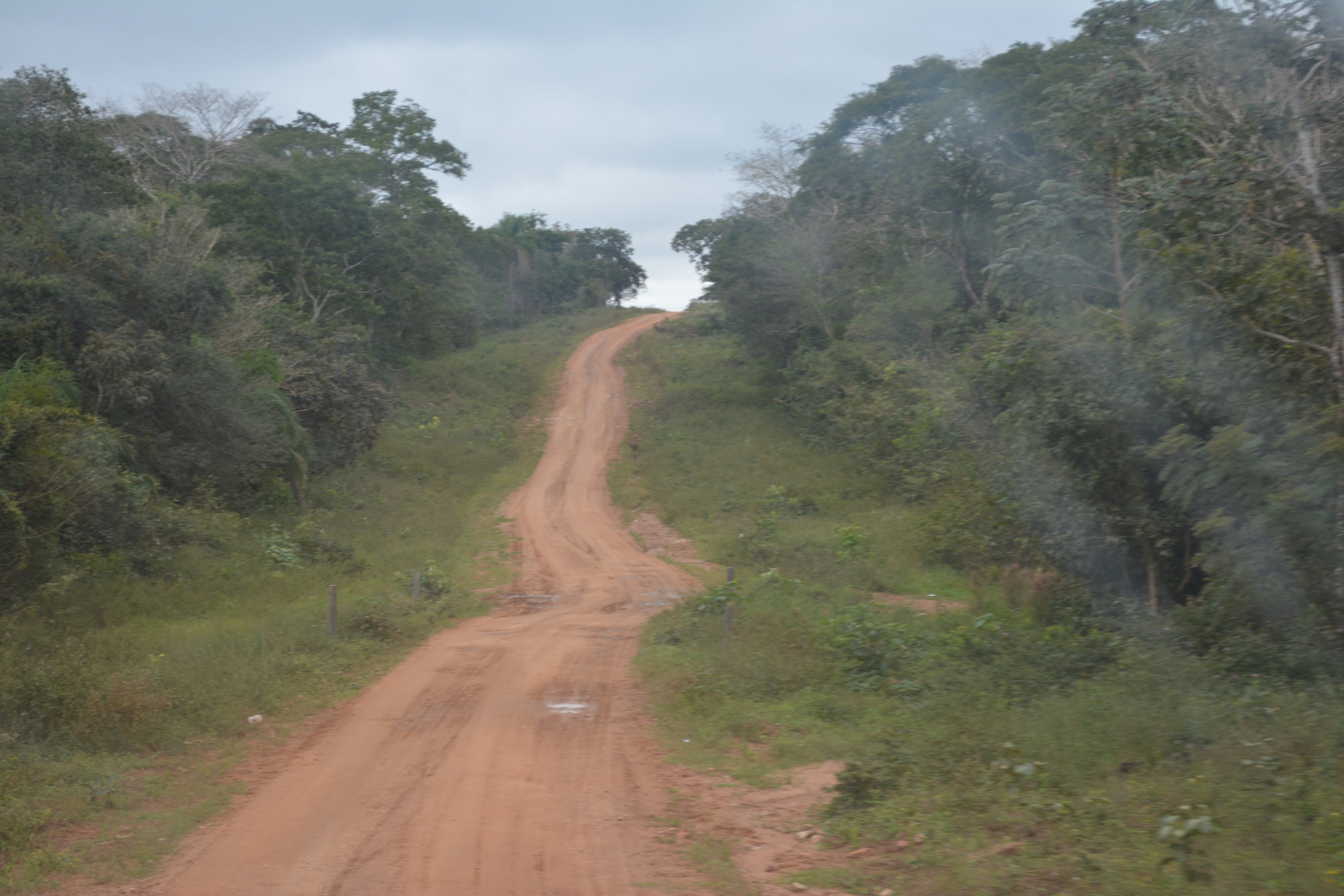
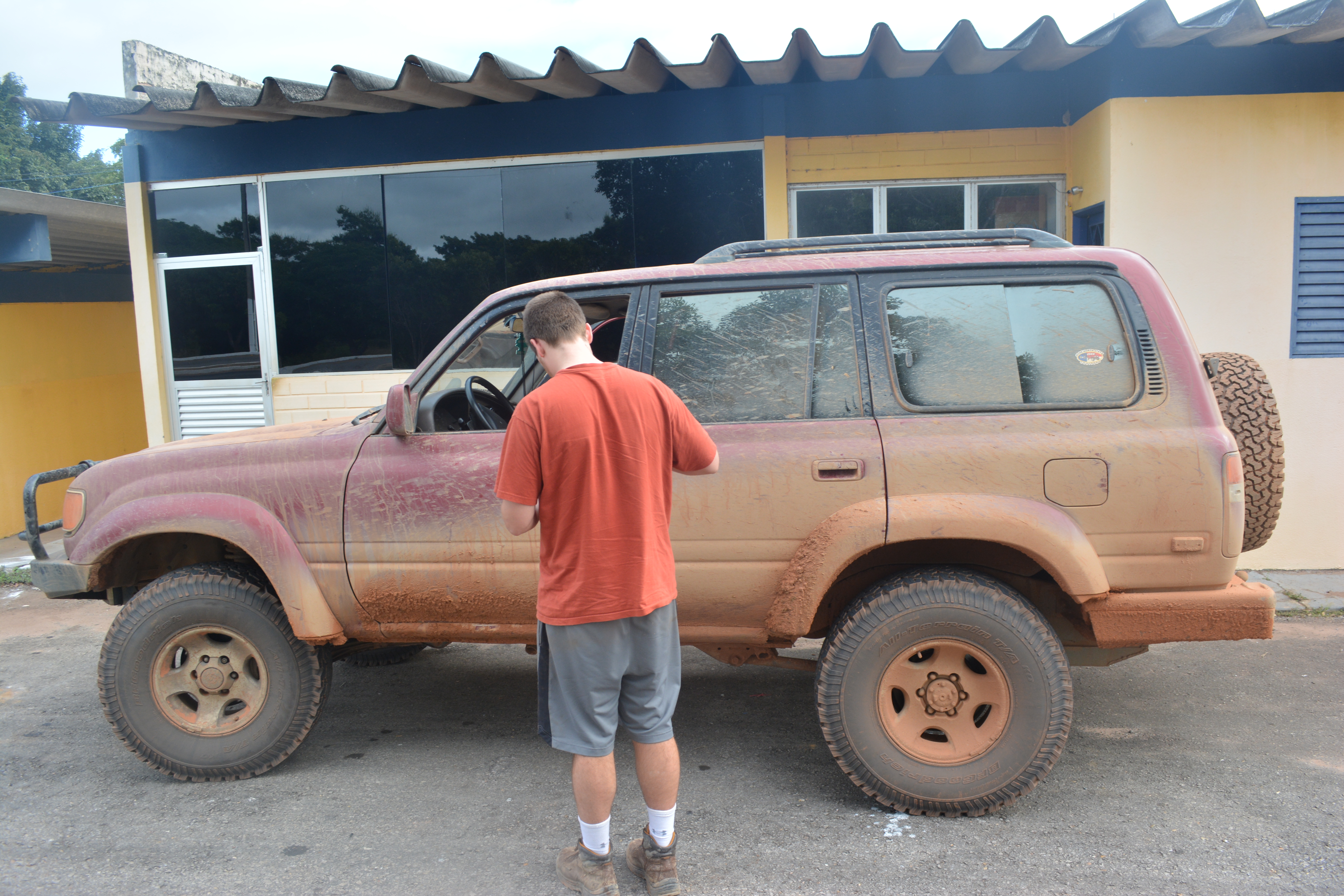
The muddy road to Brazil

As the start date approached, however, we started to have doubts about our chosen route. It was the rainy season in Brazil and there were reports of major flooding in the area. From the Portuguese translations of news articles, we read that many miles of road were covered in 12-15 cm of water and were completely impassible. The ferry schedules were unreliable, if they were running at all. We made the executive decision a few weeks before we left to take the slightly longer route through Bolivia instead. This presented its own set of problems, especially regarding information about the Bolivia-Brazil border. The problem being, there was none.

Very few people seemed to drive between Bolivia and Brazil. If they did, they went through Corúmba, Brazil, which was much farther south than we wanted to go. We were unable to find any information, good or bad, about the border crossing at San Matias. Zero. There appeared to be a road to it on Google Maps, though, and it if we could make it we were a mere five hours from our final destination in Cuiabá. We made the decision to go for it.

14846172652_81fa9e932b_o

“Highway” is a loose term

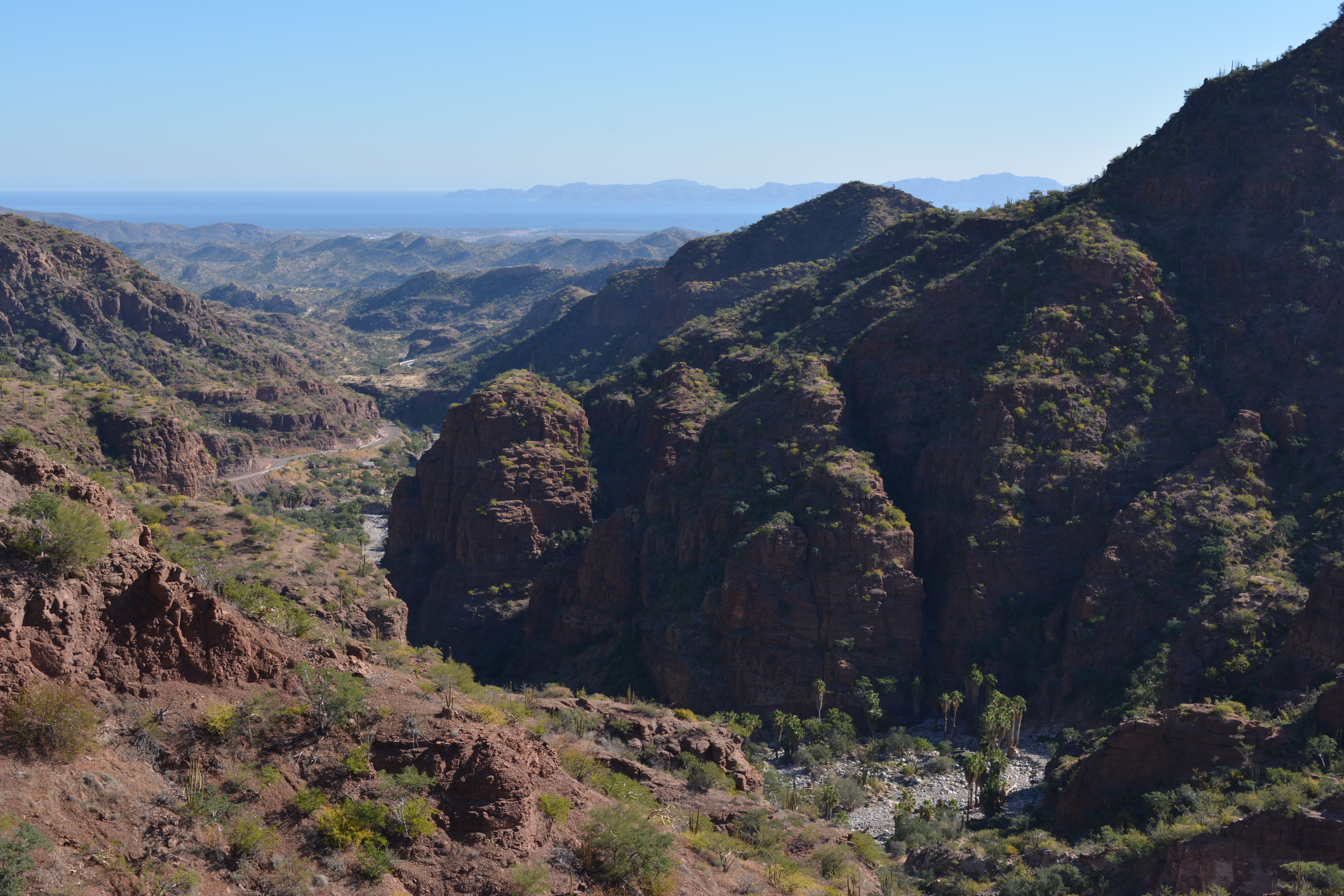
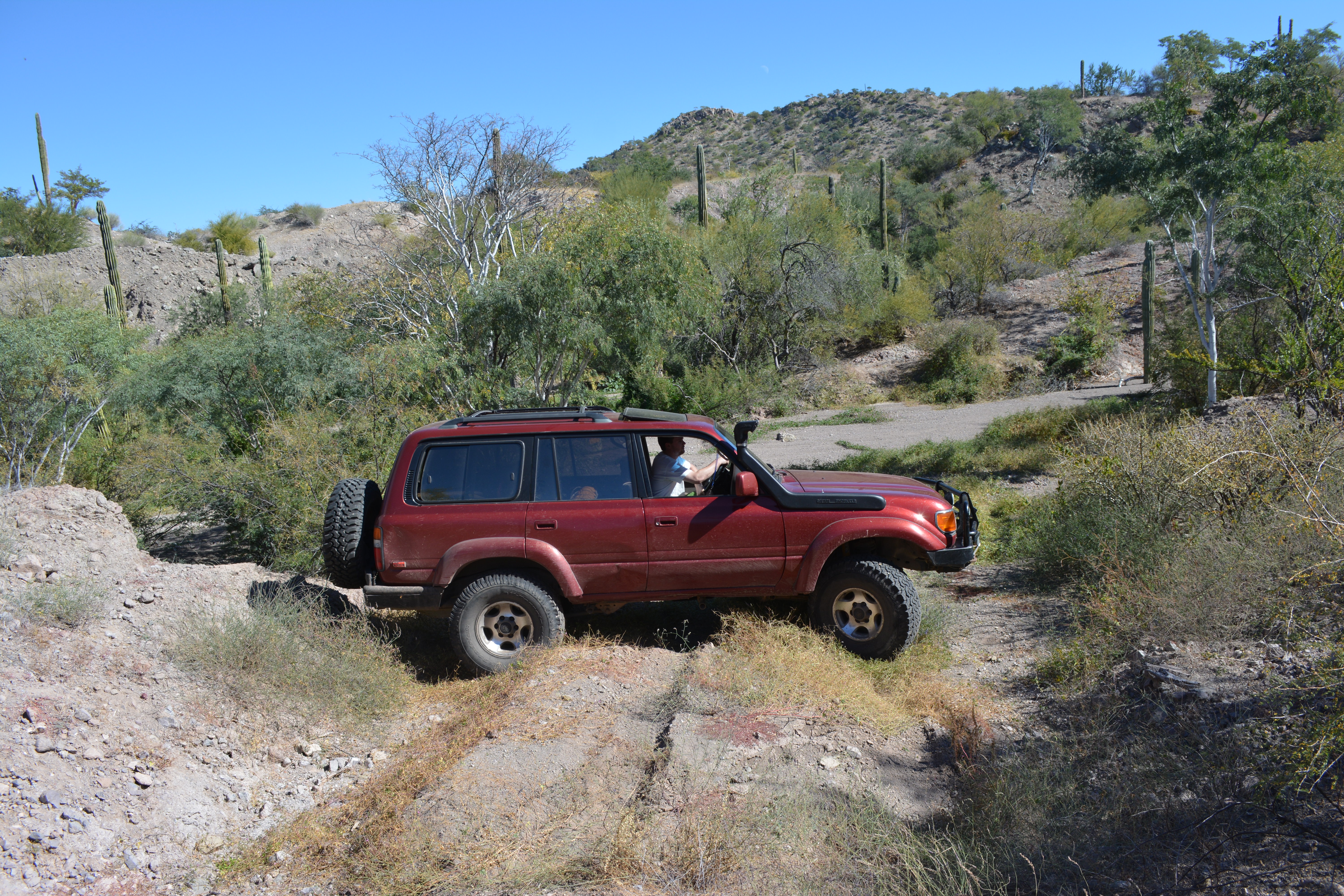
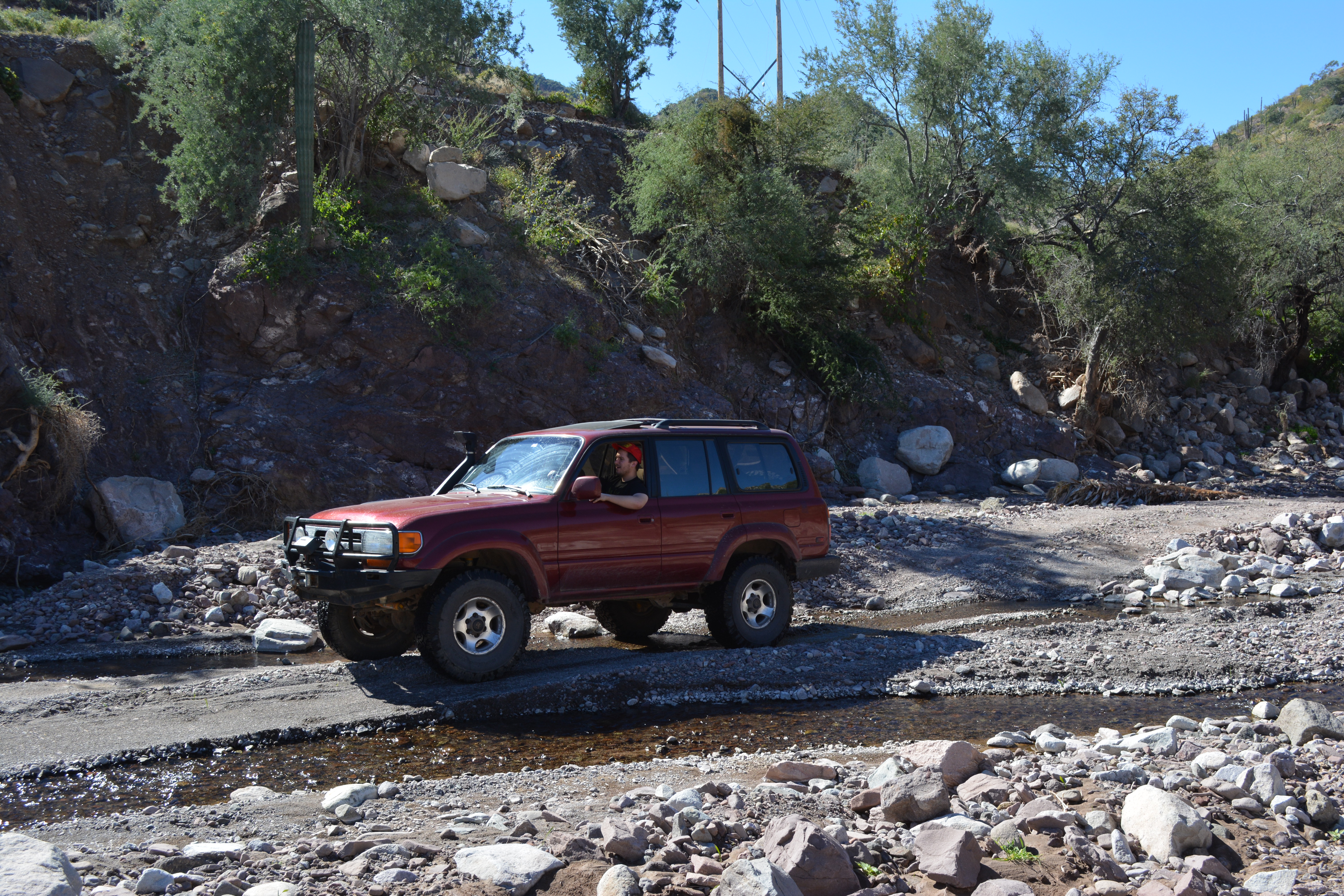
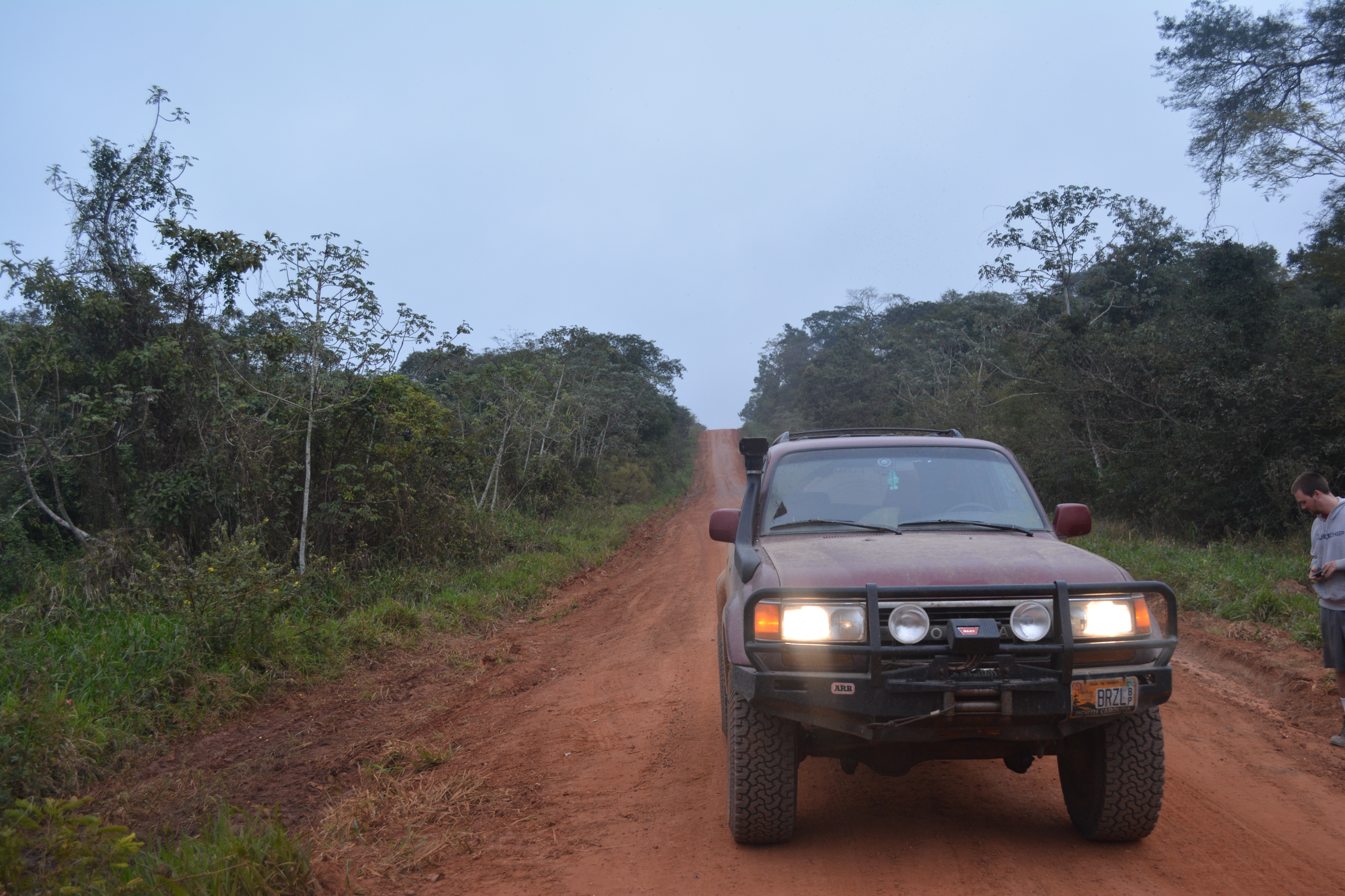
As we left San Ignacio, the already poor roads got even worse. The small, singe track dirt road became mostly wet, orange mud and clay. The beauty of the lush jungle around us was partially lost on us, as we struggled to maintain our speed through the mud and washboards of the road. We regularly stopped to inspect the bridges for safety. Our average speed was roughly 15 mph for most of the day. To make things worse, the last time we had filled up our gas tanks was hundreds of miles back at the Mennonite Colony in Chihuahua. With our spare 20 gallon tanks, we would just barely make it to San Matias. We did spend part of the day driving through the Pantanal wetlands, though, and we saw many birds and animals, as well as a few locals fishing. In total, though, we saw fewer than 20 other people the entire way.
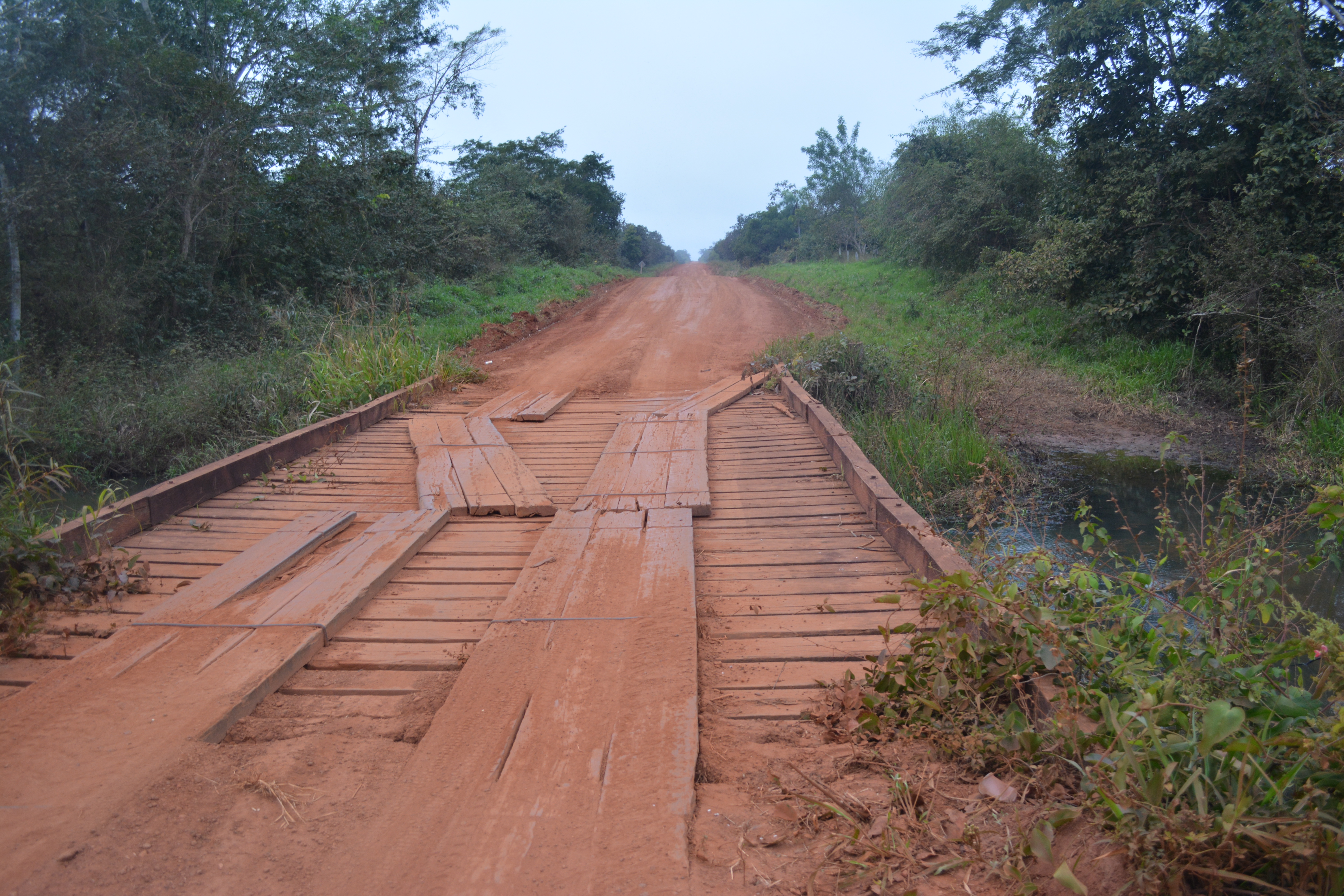
15091237659_73370362a6_o

Can’t go over it…

15091325509_d226c12ae6_o

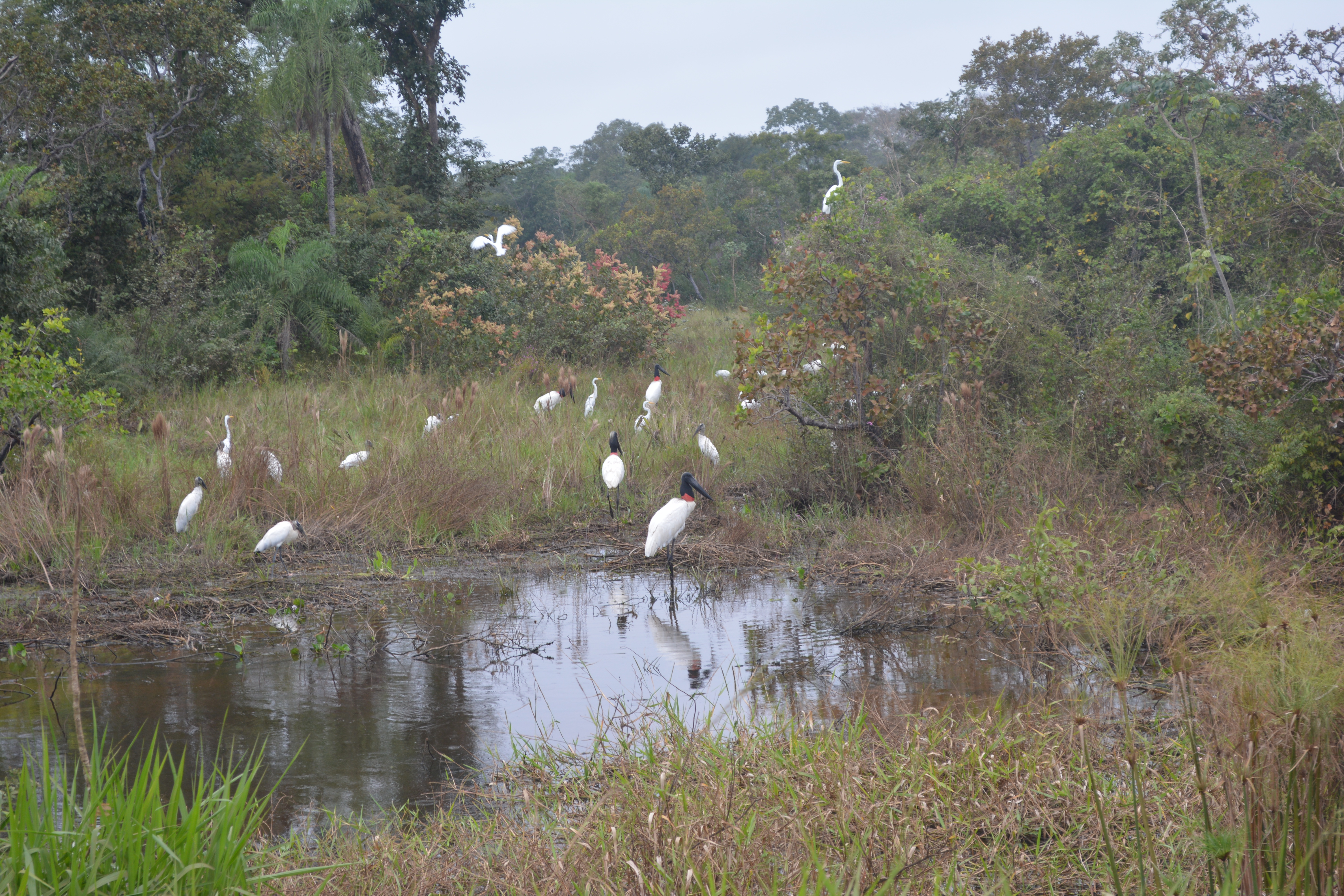
Parts of the Pantanal wetlands

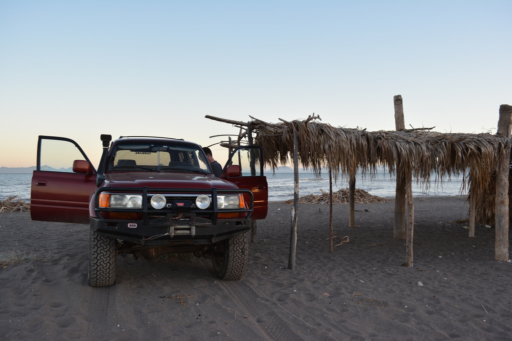
Roughly 10 hours later, we finally pulled into San Matias, a tiny collection of single story houses and dirt roads, who’s only real purpose seemed to be protecting the Brazilian border. We were nearly out of gas, so after asking some locals, we found the only gas station in town. As we drove in to fill up, we found our way blocked by chains, and an older man came out to yell at us. The pump was broken, he said. Couldn’t we read? We bargained, pleaded, but no: he could not sell us any gas. If we were willing to wait a few days, he might be able to fix it. We continued warily into town to find the customs office.

With the help some more locals, we finally found it, nestled into main street of the tiny town and entirely deserted. The woman inside seemed incredibly surprised to see us. I wonder how long it had been since two gringos had walked in asking for passport stamps? She pulled up an archaic computer and started typing. As we waited, we struck up an awkward conversation in broken español about our trip and the World Cup. We told her we needed gas, and asked if by any chance she knew someone who had some. She did! Some 15 minutes later, her cousin pulled up on a motorcycle and produced a 20-liter plastic tank filled with dirty-looking gasoline. We gave it a sniff and decided that dirty gas was better than no gas. We paid him triple the normal price, got our passport stamps, and drove dirty, weary, and broken to the Brazilian border.

The border itself turned out to be nothing more than a small bridge with Bolivian militarios on one side. The glared at our mud-crusted ‘Cruiser, checked our stamps, and grudgingly let us through the gate. On the Brazilian side, we immediately saw something that we had not seen in days: pavement! A few hundred meters from the border, we stopped at a small shack where the Brazilian authorities inspected our car and its contents. We were told that our car was OK, but we had to drive two hours to the town of Cáceres to get our passports stamped and legally be allowed into the country. Yikes. On the way, we finally bought gas, and were even able to use a credit card for the first time in days. We finally found the police station in Cáceres, got our papers, and drove the comparatively easy three additional hours to Cuiabá.

15091550500_ee127d276e_o

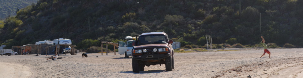
Our first stop in Brazil – the Police station.

At this point, I should probably mention our GPS. Throughout our trip, we had been tracking ourselves in realtime and checking in with loved ones through a satellite GPS. You can see these points at map.brazildrive.com. We rarely had internet, so this was our only way to communicate with the outside world. Well, with all the drama of getting our brakes fixed and being car-less, we left it hanging in a tree in Pailón. So, for a few days, no one had any idea if we were ok and our tracking page didn’t move at all. I am told that this caused more than a few people a lot of stress. In particular our mother, who had flown to Cuiabá to meet us and go to the World Cup. Not only were we more than a day and a half behind schedule, but she had not heard ANYTHING from us in four entire days. We finally pulled into our hotel in Cuiabá late that evening and honked the horn. Half of the hotel lobby, including our mom, came out to welcome us. She had told everyone about her “crazy” sons, and they had been anxiously waiting for us all day!

20140616_082812

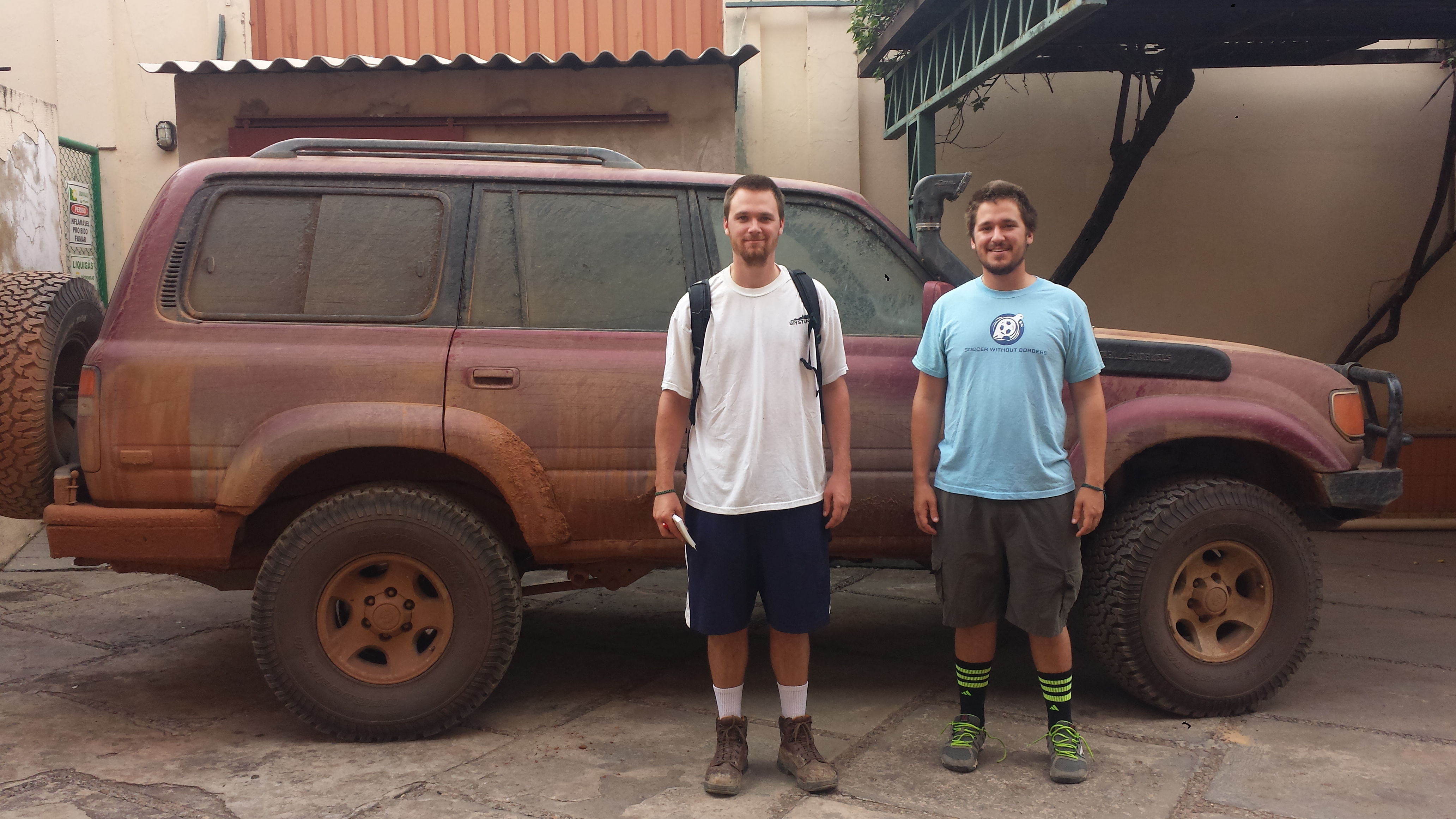
Finally arriving in Cuiaba

We got something to eat and started to tell stories about our journey so far, and finally turned in after an exhausting few days of travel. The next day, we had our first World Cup match, Russia vs. South Korea, and more importantly, we had made it to Brazil!

Leave a Comment

Filed under Brazil, Matches, Planning, The Route, Uncategorized, Vehicle

Travel Log Days 27-31: Bolivia, Part 3

We met Pirata at his house-turned-workshop just before eight the following morning. It was early but he was already at his ridiculously cheery self, making a few light jokes accompanied by his screeching laugh. We hoisted the Land Cruiser up on a few blocks of wood to take a look at the brakes.

20140614_082223

Wheel what do we have here?

He confirmed our fears: the rear brake pads were completely destroyed. In the states, this would be a fairly easy fix, just call AAA and swing by Advanced Auto Parts. Not so much in rural Bolivia. Although Pirata could rip out and install brake pads for us, he did not have any replacement parts on hand. The nearest auto parts store that carried new brake pads was an hour and a half away in the city of Santa Cruz. Having no other choice, we found a taxi driver in Pailon who would take us there and back.

20140614_075604

Some of Pirata’s other Toyotas. In the US and Europe, Toyota stopped making the 40 series Land Cruiser in 1984. A factory in Brazil, however, kept making this version, with a Mercedes engine, until 2001.

We finally arrived in Santa Cruz to even worse news. Even though it was a Thursday morning, and the streets were bustling with people, we just happened to arrive during a national holiday in Bolivia. Every one of the stores we tried was closed for not just the day, but the entire weekend. We would have to wait four more days until Monday if we wanted new brake pads, and would absolutely miss our first two games in Brazil. Panic quickly set in, but we put our heads together and came up with a glimmer of hope.

On the ride back to Pailon, we called Pirata from our taxi driver’s phone. The day before he had gushed about his own (wrecked) FZJ80 Land Cruiser to us, and talked about how he wanted to fix it up one day like ours. We proposed that, because his didn’t run at the moment and we were in a huge hurry, we would buy the used brake pads off of his Land Cruiser if he would install them on ours. He reluctantly agreed, so long as we met his price. We were back in business!

Our savior, Pirata.

Our savior, Pirata.

The “new” pads were badly worn, our brake fluid was low, and our rotors were badly scratched, but the Land Cruiser was back on the road! We happily paid Pirata and our taxi driver and set off, once again on the road to Brazil and only a day and a half behind schedule. If things went to plan, we would still arrive in Cuiaba, Brazil the night before our first match, Russia v. South Korea.


We set off towards San Ignacio de Velasco, Bolivia, and eventually the tiny Brazil-Bolivia border at San Matias. As the day progressed, the roads that comprised the “highway” got progressively worse. We were still driving on poorly maintained pavement when we left Pailon and Santa Cruz, but by that afternoon the road was entirely dirt and clay. Gas stations were becoming increasingly infrequent, so somewhere near Chihuahua we stopped and decided to top off the tank and all 20 gallons of our spare tanks.

15091602879_aaa21e6b25_o

While we waited to fill up, a man approached us and struck up a conversation in English! He asked where were from and where we were going, and seemed genuinely interested in what we were doing in, of all places, Chihuahua, Bolivia. He told us that he was actually from Canada, and had been living in the middle of nowhere, Bolivia for many years on a small Mennonite Colony there. He even offered to give us a tour. Already behind schedule, and relishing the chance to speak English for the first time in weeks, we agreed.

It turns out, his “small” Mennonite Colony was massive! He took us to the general store, where we loaded up on some supplies, and showed us his home and fields. It turns out he enjoyed being able to practice his English, too; every other person we saw only spoke either Spanish or Low German. They farmed all of their own food and if something broke they had to fix it themselves, including their cars. He was even trying to build a small restaurant next to the previously mentioned gas station, so that locals would have a place to go eat! Sadly, we had to be on our way, and left the Colony to continue our drive. We pulled into the outskirts of San Ignacio de Velasco, Bolivia late that night and camped in an under construction gas station. The next day we would make our final push into Brazil.

14846077322_b91746496c_o

The Mennonite Colony near Chihuahua, Bolivia

Leave a Comment

Filed under Brazil, Planning, The Route, Uncategorized, Vehicle

Baja Mexico: Part 3

As an international relations major, I spend the vast majority of my time reading about various countries and writing essays examining them inside and out. It’s kind of ironic, then, that I can’t find the free time to write one more – about a place I’ve personally done the research for no less. Call it extended reflection or procrastination, but either way this article is pretty behind schedule. Sorry readers (mostly Grant) for the delay, but I hope it will be worth the wait.

DSC_0281

San Javier, Riverbed Rambling, Punta Chivato

I always liked mountain roads. Something about the way they zig and zag back and forth as they climb in elevation fascinates me. I guess it shows nature’s persisting victory over man, that try as we might, rock and sand will outlast pavement and concrete, tunnels will crumble, and mountains will remain immortal. Yet even with our insignificance, the desire to try to overcome the force that is nature never goes away. It’s the impossible mismatch that forces us on, making every switchback more uncomfortable and exhilarating than the last. Knowing nature will outlast, this victory is even more ephemeral, and the discomfort this gives makes it all the more exciting. We were pioneers carefully skirting the edge between humanity and nature. Literally. I mean, parts of the road weren’t even there…

DSC_0260

Whoops.

With a stomach full of soggy oatmeal and watered-down coffee, we packed up the car and set out from our beachfront suite. Following Ernie’s advice, we decided to leave the coast and head inland to the misiòn San Javier. After consulting a group of accommodating construction workers, we were able to find the poorly marked road that was far more vivid on our map than in actuality. We knew in advance that it would take us roughly an hour to get to the mission from Loreto, so we took our time meandering through the mountains and just enjoying the view. It took some coaxing, but I managed to convince Grant to not take every side road down the cliffs under the condition that we would stop and explore on the way back. He reluctantly agreed, but would later admit that he might have been a bit over ambitious with some of route choices.

DSC_0216

He wanted to go down that. I kind of did too.

Once we ascended the mountain, the road settled into a plateau and a small river began to emerge before our eyes. The rocky riverbed we had been crossing over and the winding valley it had carved out was finally showing signs of life. We knew we were getting close. At this time of year the river was little more than a series of small pools slowly drying up from a combination of the sun and wandering cattle, but you could see its impact in the foliage spring up around us. The cactus and parched looking shrubs and trees were starting to become lush and green – a sight we honestly hadn’t seen much of outside of the towns we passed through

DSC_0219

From the greenery a small town slowly emerged winding down into a small valley. Framed by the surrounding cliffs, the misiòn San Javier was placed at the center of the town around a small cobble stone road. The town, let alone the mission stuck out like a sore thumb in an otherwise barren land. The site was founded in 1699 by Jesuit missionaries, the actual mission not being constructed for some fifty years later. It is a breathtaking architectural triumph to build something so beautiful in the middle of nowhere. It helps when you “liberate” an indigenous people of their heathen ways to help them serve your god. As Jesuit control of the region spread, the native Cochimi people rapidly declined. There’s something here about the irony of creating so much death while preaching life, but it’s two in the morning and I’ve had enough meditation for one day.

DSC_0227

Misiòn San Javier

Leaving the mission, we retraced our footsteps and headed back to Loreto. Honoring my promise to Grant, we took several detours we had skipped earlier, and the results, well, varied. The first detour saw us getting stuck down a rather steep and sandy hill which we thought was a road. It wasn’t. Some quick thinking and far from standard recovery procedures got us out just fine, and we were on our way, albeit slightly rattled.

DSC_0272

A slightly-more-than-three-point turn

DSC_0275

Nailed it.


The next detour proved far more fruitful. The trickinling river we had been winding along next to previously was finally dried up, and its bed became a highly interesting (and recommended) makeshift highway. A quick deflate of the tires and we were on our way. Used by adventurers and construction workers alike taking advantage of the dry season, the riverbed was a mix of tight curves and open expanses, and a far more enjoyable hike than our earlier experiment. Following a wayward dump truck we hopped out of the bed on an unassuming ramp hidden behind a few scraggly tress. A quick jaunt through a junkyard and some enterprising goats and we were back on Route 1 headed to Punta Chivato.

DSC_0269

pssssssstttttttt

DSC_0263

Where we’re going we don’t need roads.


“Just take the first paved road you see outside of Mulegé.” Our de facto Baja guide Ernie told us of a sweet campsite on the coast along our planned route, and gave explicit directions to get there. Punta Chivato did not appear on any of our maps, nor did any roads outside of Mulegé, but if we had learned anything from our short time on the Baja, it’s that word of mouth trumps a map nine times out of ten. And thus far, Ernie was batting one thousand.

DSC_0402

The beach provides.

DSC_0190

So does the box of food in our trunk.


“Paved road” was a bit of a misnomer, but after a beautiful drive up the coast past the Bahia de Concepción and through Mulegé, we located the turn in question. It was paved, sure, but only for a bout forty feet. The turn in question was coupled with several small houses and buildings, but the asphalt quickly turned into stone, and then into sand as we followed more poor signage down the path. After twenty minutes or so we emerged over a hill and saw why Ernie insisted we stop. A clear, sprawling beach hidden by the dunes stretched out before us. The sparse population of unfinished housing developments did little to corrupt the beauty of the beach. We drove the car a little ways down and set up camp on the sand. As the sun set between the mountains behind us, we finished our Pacificos and climbed into our trunk-top nest.

DSC_0405


Part 4 (the end!) is coming soon. Keep an eye out.

1 Comment

Filed under Brazil, Planning, Uncategorized, Vehicle

Baja Mexico, Part 2: La Paz to Loreto

In our first post about visiting the Baja, we chronicled our three day journey just to get to La Paz, Baja California Sur. By Monday morning, 10:00 am local time, we had arrived.

We wanted to get the fun part of our journey started ASAP, so we didn’t spend much time in La Paz. We hit the bank to take out some pesos, filled up on gas at the Pemex, and headed north. Our initial plan was to stop in Cuidad Constitucion for the first night, but as we found normal on the Baja, our plans changed with regularlity. We decided to try to make it to the town of Loreto and find a place to camp on the beach. While we struggled initially with the concept known locally as “kilometers”, we estimated that we could easily get there before nightfall. We got in the truck and kept driving. The initial drive was sparse, but beautiful. We even managed to find some cacti.

Wow. Such cactus.

Wow. Such cactus.

Much thorns.

Much thorns.


One of the coolest things we found about driving in the Baja were the side roads. Most of the roads, major highways included, were thoroughly deserted for long stretches, and every now and then a lonely, dusty track would peel off to one side. We regularly took off down one these side “roads” as an opportunity to explore. It often felt like we were the only people to have traveled down these routes for months, or even years. Roughly 30 km’s outside of Loreto, we took a chance on one such side track, hoping to catch a glimpse of the Sea of Cortez before coming down out of the mountains. We drove up a small grassy track, through some rocky hills, and popped up onto an awesome cliff overlook. Despite being clearly abandoned, we even found evidence of a campsite and fire put! We had some lunch and took some pictures of the majestic scenery.

cruiser-loreto-outside

Gorgeous. The view’s not bad, either.


Om nom nom nom nom nom


Money shot

Money shot


Sadly, it was too early to make camp. We had a little more driving to do before reaching Loreto. We pressed on.

We made it into the town of Loreto in the late afternoon and set out trying to find a place to camp. This was our first night on the Baja peninsula, so camping on the beach was a must. We drove through the middle of town, and were waved towards the outer edge. We found an RV park filled with very nice looking vehicles, and decided to ask for directions. A Canadian man was sitting outside his RV reading a book, and he claimed that there was a road used by the locals to get to the beach during the summer months. If we could find it, we could camp on the beach no problem! We thanked him, and in the waining light managed to find a dirt turn off that led us to the beach.

Our beach campsite in Loreto

Our beach campsite in Loreto


We made a simple dinner with some locally sourced chicken and peppers

We made a simple dinner with some locally sourced chicken and peppers


We awoke at sunrise the next morning, completely refreshed.


Look to my coming on the first light of the fifth day…


Day 5 of our trip begain with making coffee and oatmeal for breakfast and packing up the car. As our luck would have it, we ran into our Canadian friend from the RV park again! He was going for his morning walk along the beach, and recognized our behemoth of a car from the previous night. We offered him some coffee, only to discover that we only had two cups. We apologized, and ended up talking to him for quite some time about his trip and the Baja.


cruiser-loreto-friend

I need to work on my tan


His name was Ernie, and it turns out that he and his wife were spending 6 months living in their RV in the Baja. His son had previously raced in the Baja 500. We were extremely jealous. He was also very knowledgeable on things to do and see while on the peninsula. My internet-based planning had been mostly me pointing at the map, and saying, “That looks cool”. Ernie recommended numerous places to see and his expert advice helped us to re-plan most of the second half of our Baja trip.

Based on Ernie advice, that morning we headed up into the mountains north of Loreto to find the very old Mision San Javier, founded in 1699.


Part I: Durham, NC to Topolobamp, Los Mochis

[futures links to parts 3 and 4]


Leave a Comment

Filed under Planning, The Route, Uncategorized, Vehicle